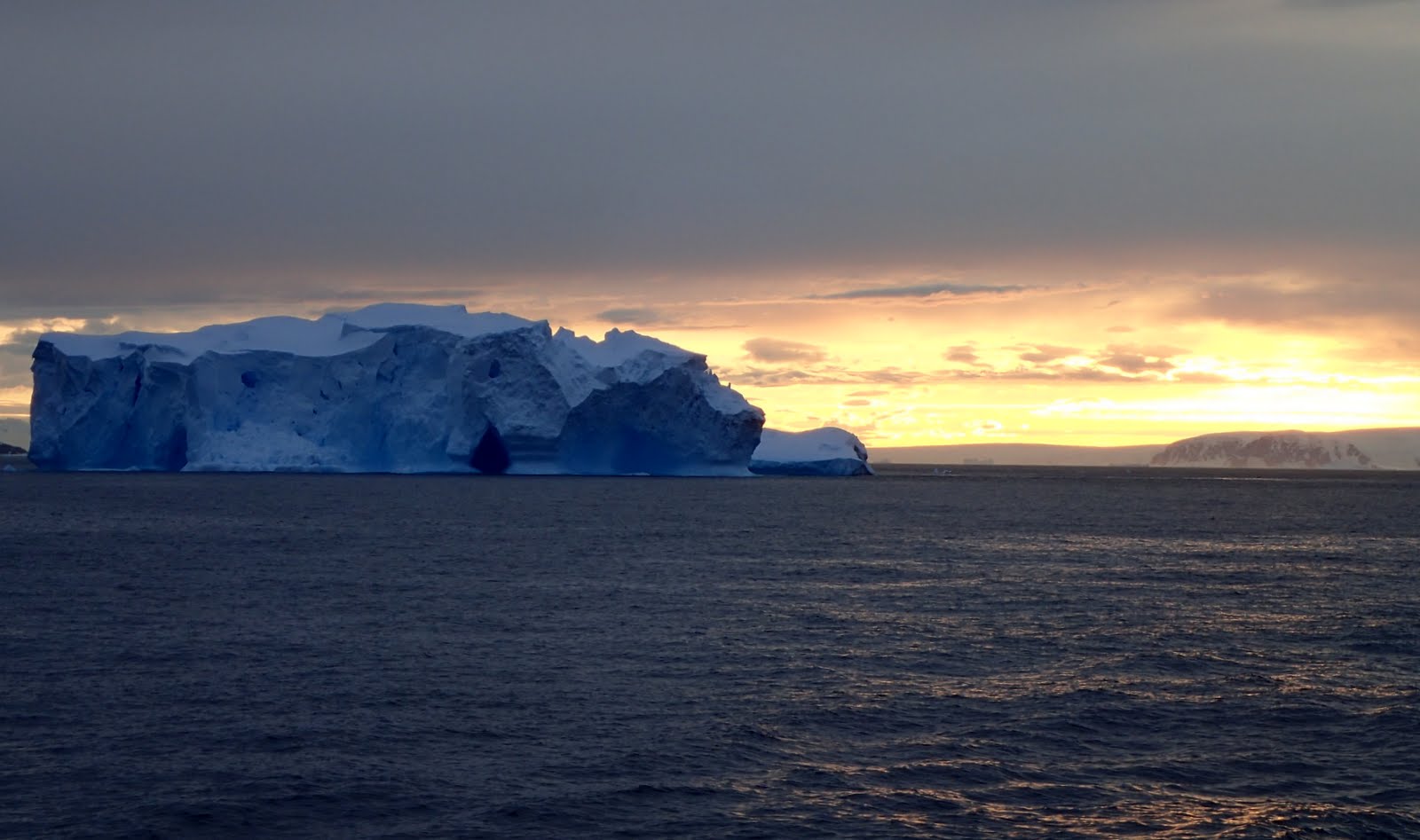
The Drake Passage, deep waterway, 600 miles (1,000 km) wide, connecting the Atlantic and Pacific oceans between Cape Horn (the southernmost point of South America) and the South Shetland Islands, situated about 100 miles (160 km) north of the Antarctic Peninsula. The Drake Passage defines the zone of climatic transition separating the cool, humid, subpolar conditions of Tierra del Fuego and the frigid, polar regions of Antarctica. Though bearing the name of the famous English seaman and global circumnavigator Sir Francis Drake, the passage was first traversed in 1616 by a Flemish expedition led by Willem Schouten.
Our Expedition leader, Raphaël Sané describes the Drake Passage in his book Antarctica: Journey to the Peninsula.
The Drake Passage is an area greatly feared by sailors due to a recurrent heavy swell ( 4m/12ft waves on average)…But regardless of the weather conditions, a crossing of the Drake Passage also offers the perfect opportunity to observer many pelagic animals (for example albatrosses, pertals, whales etc…)


